Approximate Location Map
Large Map »
This site is entirely user-supported. See how you can help.
Latitude: 52.0437 / 52°2'37"N
Longitude: -0.0453 / 0°2'43"W
OS Eastings: 534152.049847
OS Northings: 240166.015573
OS Grid: TL341401
Mapcode National: GBR K7P.TLF
Mapcode Global: VHGNB.5WDP
Entry Name: Long barrow on Therfield Heath
Scheduled Date: 10 August 1923
Last Amended: 16 July 1992
Source: Historic England
Source ID: 1010428
English Heritage Legacy ID: 20635
County: Hertfordshire
Civil Parish: Royston
Built-Up Area: Royston
Traditional County: Hertfordshire
Lieutenancy Area (Ceremonial County): Hertfordshire
Church of England Parish: Therfield
Church of England Diocese: St.Albans
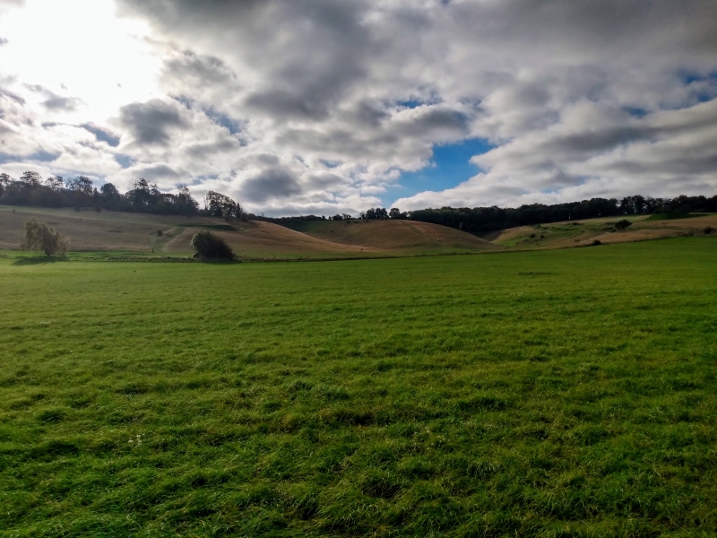
The monument includes a long barrow situated on the crest of a north-facing
slope on Therfield Heath, nearly 100m south-east of a Bronze Age round barrow
cemetery. It includes a trapezoidal earthern mound aligned east-west and
measuring 45m in length by 22m across at the eastern end and narrowing
slightly to 15m at the western end. In height the mound measures c.2m at the
western end rising to c.3m at the broader eastern end. Although no longer
visible at ground level, flanking quarry ditches, from which the material was
quarried during the construction of the monument, run parallel to the north
and south sides of the mound. These have become infilled over the years but
survive as buried features c.2m wide.
The barrow was partially excavated by E B Nunn in 1855 and again in 1935 by
C W Phillips. One cremation and one inhumation were uncovered at the eastern
end of the barrow whilst at the western end two cists and another inhumation
were discovered. Recorded finds included pottery from the Early Bronze Age
and the Early Iron Age, an iron spearhead and a metal band which would have
been fitted to the end of a stick, known as a ferrule, from the Anglo-Saxon
period.
MAP EXTRACT
The site of the monument is shown on the attached map extract.
It includes a 2 metre boundary around the archaeological features,
considered to be essential for the monument's support and preservation.
Source: Historic England
Long barrows were constructed as earthen or drystone mounds with flanking
ditches and acted as funerary monuments during the Early and Middle Neolithic
periods (3400-2400 BC). They represent the burial places of Britain's early
farming communities and, as such, are amongst the oldest field monuments
surviving visibly in the present landscape. Where investigated, long barrows
appear to have been used for communal burial, often with only parts of the
human remains having been selected for interment. Certain sites provide
evidence for several phases of funerary monument preceding the barrow and,
consequently, it is probable that long barrows acted as important ritual sites
for local communities over a considerable period of time. Some 500 long
barrows are recorded in England. As one of the few types of Neolithic
structure to survive as earthworks, and due to their comparative rarity, their
considerable age and their longevity as a monument type, all long barrows are
considered to be nationally important.
Despite partial excavation on two separate occasions, the Therfield Heath
long barrow survives comparatively well in close association with a later
round barrow cemetery. Combined, these give an indication of the development
of later Prehistoric society and the intensity of settlement in this area of
downland.
Source: Historic England
Other
NAR No TL 63 SE 9, Information from NAR,
Phillips, C W, PPS Excavation Report, (1935)
Source: Historic England
Other nearby scheduled monuments