Approximate Location Map
Large Map »
This site is entirely user-supported. See how you can help.
Latitude: 57.6663 / 57°39'58"N
Longitude: -2.8428 / 2°50'34"W
OS Eastings: 349815
OS Northings: 864357
OS Grid: NJ498643
Mapcode National: GBR M8BG.JD5
Mapcode Global: WH7KL.9KHT
Entry Name: Davie's Castle, fort
Scheduled Date: 9 February 2004
Source: Historic Environment Scotland
Source ID: SM11042
Schedule Class: Cultural
Category: Prehistoric domestic and defensive: fort (includes hill and promontory fort)
Location: Rathven
County: Moray
Electoral Ward: Keith and Cullen
Traditional County: Banffshire
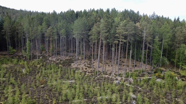
The monument comprises the remains of a fortified enclosure, measuring about 30m by 50m, occupying the greater part of a steep-sided hillock, situated in dense woodland, overlooking the Glen Burn.
The enclosure is delineated by a well-defined ditch about 5m wide and up to 2m deep (when measured against the inner, uphill edge); the ditch lies slightly downhill of the flat top of the knoll. The area enclosed measures about 30x50m although both ends have been scarred by 19th-century quarrying. The enclosure occupies the eastern part of the knoll - to the east it falls away steeply to the floor of the valley; to the west, the ditch cuts the defended area off from the rest of the flat top of the knoll. There appears to be a very clear entrance to the WSW. The enclosure is most likely a prehistoric fort, but it may be a medieval motte. Whichever it is, its size and very prominent position in the landscape (currently disguised by the dense tree cover) mark it out as a high status settlement.
The area to be scheduled is irregular, measuring a maximum of about 80m E-W by about 60m N-S, to enclose the visible remains and an area around them within which related features may survive, as marked in red on the attached map.
Source: Historic Environment Scotland
The monument is of national importance as a striking example of a prehistoric, or less likely, medieval fortified site, occupying a very prominent position. It has the potentail to enhance considerably our understanding of high status defended sites and, consequently, to improve our understanding of social structures.
Source: Historic Environment Scotland
Bibliography
The monument is recorded by RCAHMS as NJ46SE 2.
Source: Historic Environment Scotland
Other nearby scheduled monuments