Approximate Location Map
Large Map »
This site is entirely user-supported. See how you can help.
Latitude: 51.5912 / 51°35'28"N
Longitude: -3.0369 / 3°2'13"W
OS Eastings: 328261
OS Northings: 188547
OS Grid: ST282885
Mapcode National: GBR J4.BSYJ
Mapcode Global: VH7BC.98VJ
Entry Name: Fourteen Locks, Monmouthshire Canal
Scheduled Date:
Source: Cadw
Source ID: 2409
Cadw Legacy ID: MM184
Schedule Class: Transport
Category: Lock
Period: Post Medieval/Modern
County: Newport (Casnewydd)
Community: Rogerstone (Tŷ-du)
Built-Up Area: Newport
Traditional County: Monmouthshire
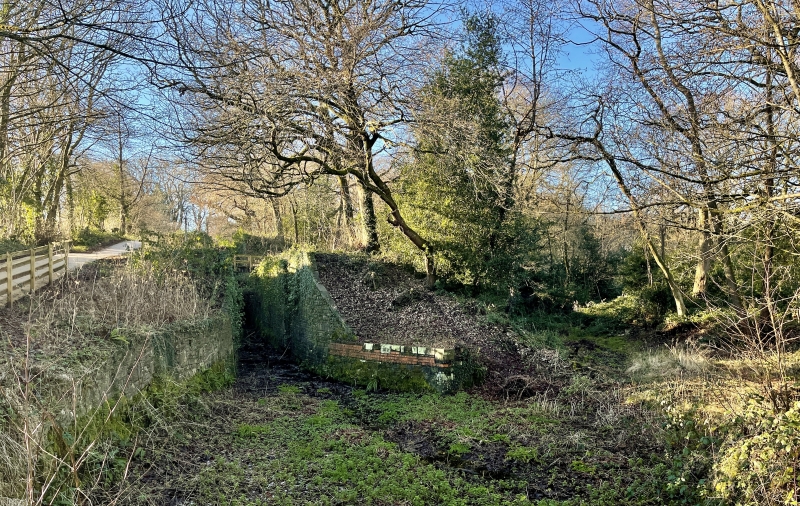
The monument consists of a series of fourteen locks, dating to the 18th century. A lock is a section of a water channel on a canal or river shut off above and below by lock gates provided with sluices to let the water out and in, and thus raise or lower boats from one level to another. The canal, constructed between 1792 and 1798, was connected by tramroad with Blaenavon ironworks and served to bring its products to the docks at Newport. The staircase" of locks is on the Crumlin branch of the Monmouthshire and Brecon canal
Source: Cadw
Other nearby scheduled monuments